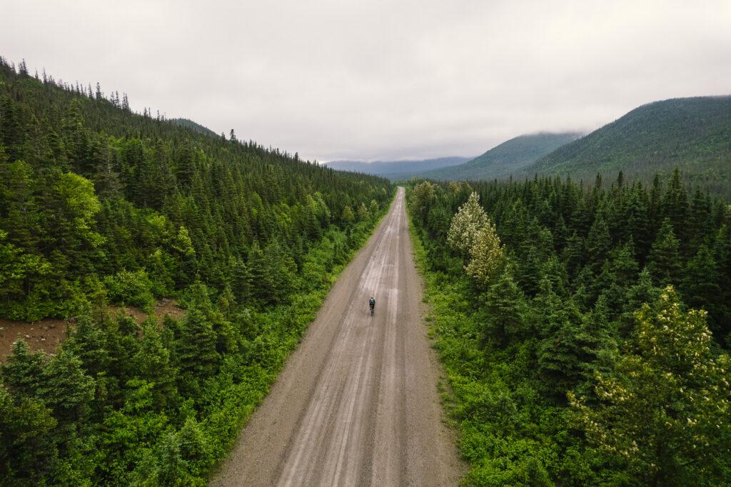
It’s a good time for bike riding. In 2021, InternationElles made history with their world record-breaking ride from Land’s End to John o’Groats – it’s easy to be inspired into planning your own long-distance bike ride. But with so many different route plotting apps and types of rides you can make, it’s easy to feel overwhelmed.
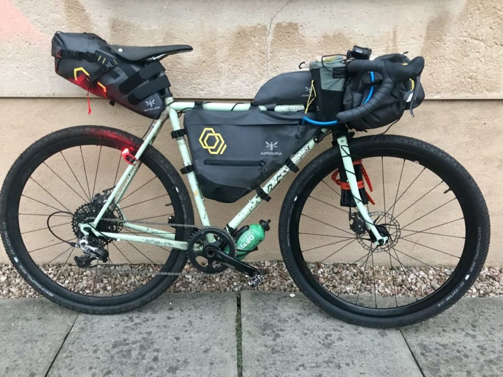
A cycling trip is different in many ways to a traditional holiday. For one, you’ll be staying in different places every night, and will be largely responsible for finding your meals on the go. While this article won’t tackle the nuances of survival or bikepacking per se, we’ve broken down the best ways to plot and define your routes so you can ride with confidence whether you’re on the trail or road. And if you’re not ready for a multi-day trip, there’s plenty here for those looking for a well-planned big day out.

Make an itinerary
One key step of the early planning stage is planning the rough mileage you expect to be doing each day. By keeping to an itinerary on your long-distance ride, you can plan ahead by mapping out possible rest and food stops along the way, as well as tracking your progress. Be honest about how far you’ll be able to travel each day – don’t set an unrealistic target and burn out early on. Unless you’re going for a world record, or trying to beat the Tour de France to Paris, there’s no need to ride an obscene number of miles per day.
Tools to plot your routes
There are plenty of route building applications and resources available these days, but which ones are the best?
Komoot
This German company is only a few years old, but in their short lifespan, they’ve made massive strides across Europe. Their route planning app is great for piecing together trips and allows you to make collections of your routes. You can also find highlights and suggested popular routes designed and tested by others. If you’re riding in unfamiliar territory, this is a great place to start as it gives you a good indication of which roads or bridleways might be suitable. You can also adjust the routes based on surface, elevation, and popularity. Their basic mapping is free, but some features such as cycle route-specific mapping are part of the premium package.
Strava
Mapping a route is now a subscriber-only option for Strava users, but it does contain some in-depth popularity and heat mapping that could make your planning a little easier. The darker the purple the more popular a certain road or trail is, making it easy for you to source the best route. You can easily export GPX or TCX files to your cycling computer, and if you have the Strava mobile app, you can access it there as well.
Huli
If you’re not into plotting every single road or trail and are happy to let an algorithm choose the best route for you, then Huli is a great option. A relatively new Scottish company, they aim to take the hassle out of route planning and encourage you to spend less time behind the computer plotting and more time outside riding your bike. The application is currently free and can be used on the computer or mobile. It also offers direct integration with popular cycling computers so you don’t need to download your GPX file manually.
Sustrans
Sustrans is the charity that maintains and maps out the National Cycle Network. They have a great selection of quiet routes across the country which can be pieced together to make longer rides and easily split into manageable chunks for each day of your trip.
Cycling UK
Cycling UK is another cycling charity, one that PedalCover is partnered with, and they are renowned for developing new routes as well as sustaining older ones. New routes they have introduced recently include the King Alfred’s Way, a 350km circular bikepacking route in southern England, and the Great North Trail, an 800-mile mountain bike-suitable route that travels from the Peak District to John o’Groats. Their website contains plenty of information about the routes and makes it easy to plot long-distance rides due to the vast array of information available.

The new old-fashioned way
Rather than trusting the apps and tools blindly, there’s no better way to be confident a route is suitable than an old school map. If plotting off-road, try the Ordnance Survey maps for up-to-date public right of ways. If you’re mapping on the road, Google Street View is a great way to check out how busy certain roads are and if they are in fact roads and not bridleways (we’ve all been there).
The key to a successful long-distance bike ride or trip is confidence in the route. You want to be able to focus solely on riding and managing your effort rather than worrying about where you’re going. The tools mentioned above will help you take the guesswork out of plotting and get you on the right track no matter where you’re going.
With so much ground to cover, make sure your bike is insured against theft or damage. Why not get a quick quote and see just how little a bit of peace of mind will cost you on your next cycling trip.
Words: Rebecca Bland